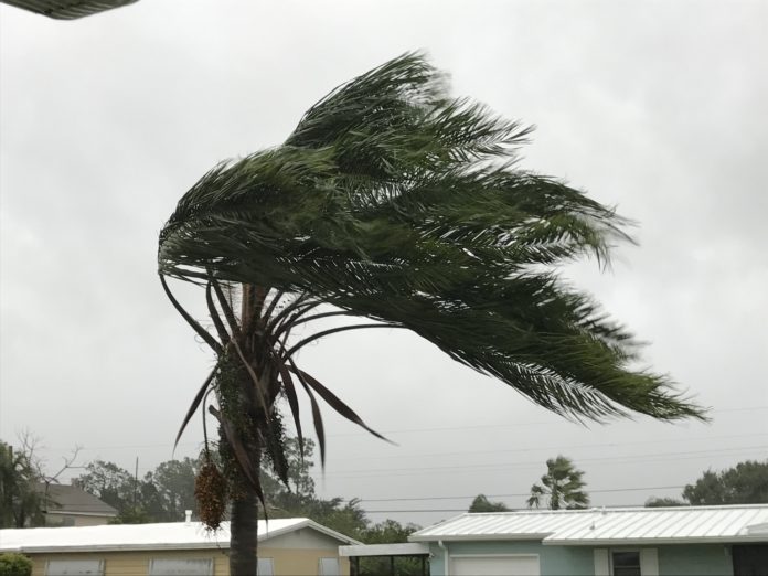
Just hours before making landfall in South Carolina, Tropical Storm Danny became the 4th named storm of the hurricane season. Expected to make landfall Monday evening, Danny’s projected trek has it knocking on the Southeastern Tennessee border as a tropical depression by Tuesday afternoon. The long-term trek has it entering Middle Tennessee as a sub-tropical system.
Add to this a slow-moving cold front coming from the west and we will be monitoring the chances for heavy rains.
Good news: July 4th weekend looks AWESOME!
See our live weather radar here.
Up to the minute, updates and weather watches and warnings powered by ReadyWarn can also be found on our local Source Facebook page and Twitter. Or have our daily e-mail with weather and more delivered to your e-mail box each morning and afternoon by signing up on your county homepage.
Find your Close to Home(SM) news, weather, events and more by using our interactive map.
000
WTNT44 KNHC 282042
TCDAT4

Tropical Storm Danny Discussion Number   2
NWS National Hurricane Center Miami FL       AL042021
500 PM EDT Mon Jun 28 2021

Deep convection has exploded this afternoon over the center of what
is now Tropical Storm Danny. Reconnaissance aircraft measured 49 kt
winds at the 850-mb fight-level, which equals roughly a 39-kt
surface wind. In addition, Doppler velocity data from the Charleston
radar measured average velocities of 49 kt at 6000-7000 ft, which
also equate to about 40-kt surface winds. A reconnaissance aircraft
dropsonde also measured a central pressure of 1009 mb. Based on
these data, the advisory intensity has been increased to 40 kt.

The initial motion estimate is 290/14 kt. Tiny Danny is forecast to
maintain a west-northwestward motion for the next day or so, with
landfall expected along the southern coast of South Carolina likely
occurring by 0000 UTC this evening. The small tropical cyclone
should continue to move inland across southern South Carolina and
eastern Georgia tonight and early Tuesday, with dissipation expected
over the mountains of northern Georgia by Tuesday night or early
Wednesday. The new NHC track forecast is a little to the left of
the previous advisory track, and lies close to the consensus track
models HCCA, TVCA, and GFEX.

No additional strengthening is anticipated before Danny makes
landfall. Rapid weakening should commence shortly after landfall,
with Danny likely becoming a remnant low by Tuesday morning.
The official intensity forecast follows a blend for the Decay-SHIPS
statistical model for inland tropical cyclones, and the intensity
consensus models IVCN and HCCA.

Key Messages:

1. Heavy rainfall is possible from coastal southern South Carolina
and Georgia, inland across the Piedmont of Georgia into northeast
Alabama.  Isolated flooding is possible across urban areas of the
southern South Carolina and Georgia coasts.

2. Tropical-storm-force winds are expected across portions of
the South Carolina coast late this afternoon and tonight where a
Tropical Storm Warning is in effect.

3. Swells generated by Tropical Storm Danny are expected to affect
portions of the South Carolina coast through tonight. These swells
could cause life-threatening surf and rip currents.

FORECAST POSITIONS AND MAX WINDS

INIT  28/2100Z 32.3N  80.1W   40 KT  45 MPH
 12H  29/0600Z 33.2N  82.4W   25 KT  30 MPH...INLAND
 24H  29/1800Z 34.3N  85.2W   15 KT  15 MPH...POST-TROP/INLAND
 36H  30/0600Z...DISSIPATED INLAND


